Satellite & Subsea Connectivity for the Digital Future
Delivering integrated satellite, remote sensing and submarine cable solutions across Asia-Pacific.
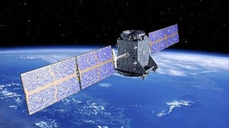
Satellite & Remote Sensing
High-precision BeiDou navigation, telemetry and Earth observation solutions for critical industries.
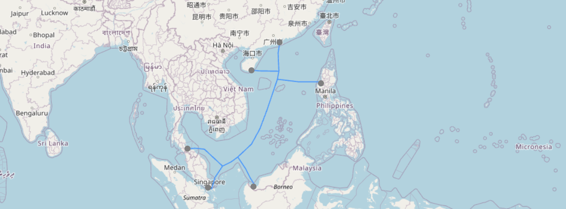
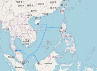
SEA-H2X co-owner offering ultra-high-speed, low-latency regional data connectivity.
Air-space-ground-sea communication platforms supporting digital economy applications.
Submarine Cable Infrastructure
Integrated Network Ecosystem
Enabling Asia-Pacific’s Next-Gen Connectivity
Sonia Satellite Services Sdn. Bhd. delivers high-speed, secure connectivity through satellite systems, remote sensing and the SEA-H2X submarine cable. Our mission: to bridge air, space, land and sea networks for governments, telcos and enterprise customers.
Integrated Satellite & Subsea Infrastructure
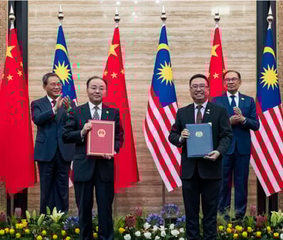
Authorised Technology Partner
As the Malaysian representative of ZhongKang BeiDou and partner to NORINCO Group, we bring Chinese state-backed satellite innovation to the region, enabling aerospace digital parks, advanced telecom platforms and defence-grade navigation solutions.
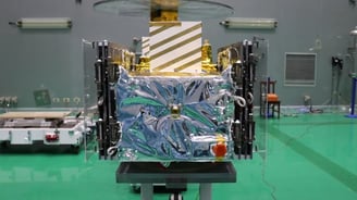
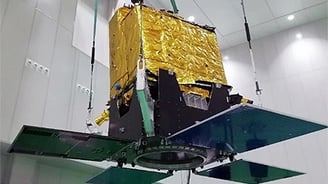
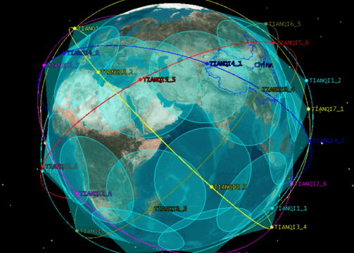
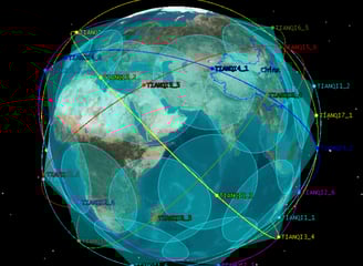
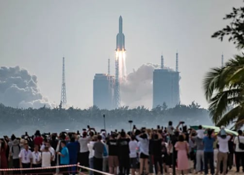
Satellite Constellations Powering Our Services
Leveraging China’s most advanced satellite networks for navigation, communication and Earth observation across the Asia-Pacific region.
BeiDou Navigation Constellation


56 satellites in GEO, MEO, and IGSO orbits.
Delivers secure, real-time global positioning and navigation services for land, sea and air applications.
Tianqi IoT Communication Constellation
Jilin-1 Remote Sensing Constellation
38 satellites in LEO orbit.
Enables low-power, wide-area connectivity for industrial IoT, smart agriculture, asset tracking and infrastructure monitoring.
117 satellites in LEO orbit.
Provides high-resolution, multi-spectral Earth observation for disaster response, urban development and environmental monitoring.
Integrated Satellite & Infrastructure Solutions
Delivering precision navigation, remote sensing, IoT connectivity, and digital infrastructure through state-backed satellite constellations, subsea networks and aerospace ecosystems.
Satellite Navigation & IoT Communications
Integrated BeiDou GNSS and TIANQI LEO systems for precision navigation and narrowband IoT connectivity.
Use cases: smart transport, logistics, maritime, remote asset tracking, agriculture.


Earth Observation & Remote Sensing
High-resolution imagery and environmental data from JILIN-1 and other constellations.
Use cases: urban planning, oil & gas, forestry, disaster response, climate monitoring.
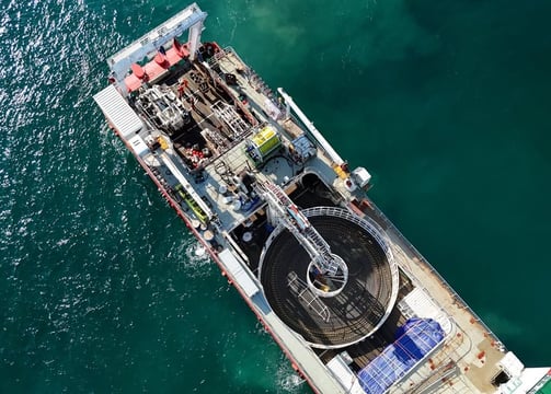
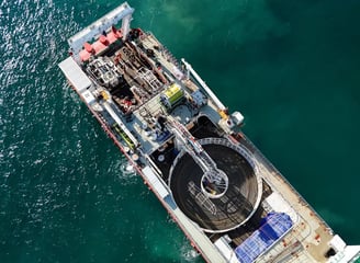

Subsea & Space-Based Infrastructure
Operator of SEA-H2X submarine cable and integrator of satellite-ground systems.
Use cases: regional internet backbone, enterprise data transit, telco and ISP enablement.
Aerospace Parks & Digital Ecosystems
Development of aerospace digital parks in partnership with NORINCO and ZhongKang BeiDou.
Use cases: R&D facilities, digital industry hubs, smart city and defence innovation zones.
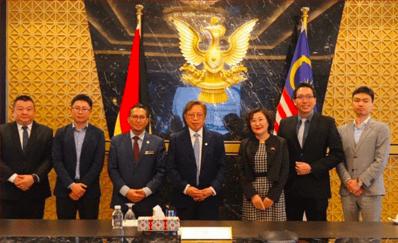
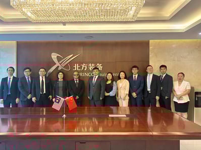
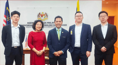
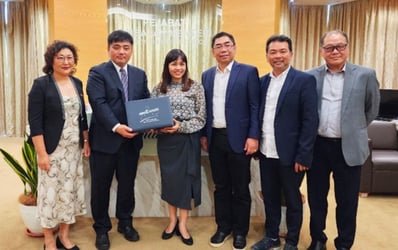
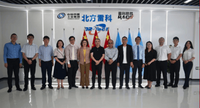
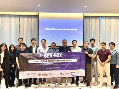
Behind the Mission
A glimpse into the people, culture and moments shaping our journey in satellite innovation and regional connectivity.
Let’s Connect
Have a project in mind or need more information about our satellite and digital infrastructure solutions? We’d love to hear from you.